About the 'okana of KekahaThe Kona district situated along the leeward slopes of Hawai'i Island was traditionally divided into two major 'okana (land division comprised of several ahupua'a). A portion of what is known today as North Kona, was named by the native residents, Kekaha, a shortened version of Kekaha-wai-'ole-o-nā-kona, which translates to the waterless Kekaha of the Kona districts. The Kekaha region extends from Keahualono, a marker situated on the boundary of the Kohala and Kona districts to the area of Kaloko-Honokōhau. The Kekaha region was often referred to as ‘āina pele, or lands that were frequented by the volcanic deity, Pele. This rugged landscape and limited access to freshwater has influenced and shaped the life of the people prompting them to be extremely knowledgeable about their land and its resources.
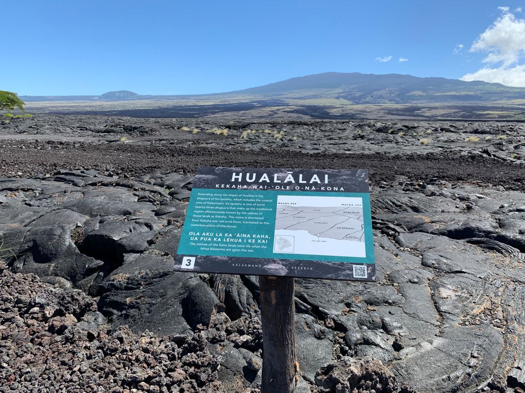
Tour Stop 3 located along the interpretive trail.
|
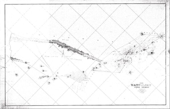
Hawai'i Registered Map 1263 by J. M. Alexander, 1885 of Ka‘ūpūlehu Ahupua'a. Retrieved from the Hawai'i State Department of Accounting and General Services Land Survey Division.
About Ka‘ūpūlehu Ahupua'aThe Kalaemanō Cultural Reserve is within the coastal portion of the ahupua'a of Ka‘ūpūlehu which is comprised of 23,545 acres of land. Ka‘ūpūlehu is one of twenty-three ahupua'a (traditional Hawaiian land divisions) that make up the 'okana of Kekaha. Ka‘ūpūlehu is often described as one of the most favored lands in this region as it encompasses the summit of Hualālai and expands out into the ocean to include the near shore fisheries. Its size and location on the leeward slopes of Hualālai Volcano gave the native residents of Ka‘ūpūlehu access to coastal fisheries, inland agricultural areas, and forest resources.
Click here to learn how the ahupua'a of Ka‘ūpūlehu received its name. |


All rights reserved ©2020