KALAEMANŌ CULTURAL RESERVE
  • Home
  • About the Area
    • Mo‘olelo ‘Āina
    • Naming of Ka‘ūpūlehu
  • Plan A Visit
    • Know Before You Go
    • Interpretive Trail Tour Stops >
      • Kalaemanō Cultural Reserve
      • Interpretive Trail
      • Hualālai & Kekaha
      • Littoral cone, hornitos, and wahi nahā pāhoehoe
      • Ala Kahakai National Historic Trail
      • Poho Pa'akai | Salt Pans
      • Kauhale | Settlement
      • Nā Kiʻi Pōhaku | Petroglyphs
      • Hālau Waʻa
  • Ka‘ūpūlehu Marine Reserve

holo moana

holo moana​ | open ocean navigation

Tour Stop F
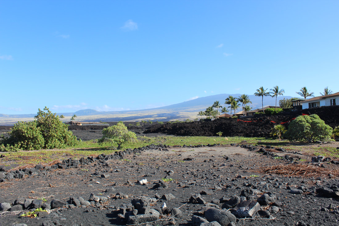
The assemblage of ki'i pōhaku depicting the traditional Hawaiian lā (crab-claw sail) and papamū (checker board) coupled with the hālau wa'a (canoe-shed) tells of  Kalaemanō's importance in the Hawaiian practice of holo moana or open ocean navigation. As a people surrounded by ocean, the ancient Hawaiians studied the stars and heavens which they utilized to navigate their course at sea. The night sky is clearly visible to the northwestern horizon and this makes it possible to see where important navigation stars set.
State Inventory of Historic Places 50-10-19-19211, -19194

Picture
foundation of a large hālau wa'a (canoe shed)

Plan Your Visit

Learn about the area

Ka'ūpūlehu Marine Reserve

Picture
Picture
All rights reserved  ©2020
  • Home
  • About the Area
    • Mo‘olelo ‘Āina
    • Naming of Ka‘ūpūlehu
  • Plan A Visit
    • Know Before You Go
    • Interpretive Trail Tour Stops >
      • Kalaemanō Cultural Reserve
      • Interpretive Trail
      • Hualālai & Kekaha
      • Littoral cone, hornitos, and wahi nahā pāhoehoe
      • Ala Kahakai National Historic Trail
      • Poho Pa'akai | Salt Pans
      • Kauhale | Settlement
      • Nā Kiʻi Pōhaku | Petroglyphs
      • Hālau Waʻa
  • Ka‘ūpūlehu Marine Reserve